Cold Wave Hits British Columbia and Alberta with Record Low Temperatures
The coldest temperatures of the winter season have settled across British Columbia and Alberta.
Highs struggled to rise above -25°C in Alberta on Monday, with Grande Prairie leading the chill at a bone-chilling -28.7°C. Overnight lows plummeted near -44°C in Teepee Creek, Alta. At those temperatures, boiling water in the snow instantly turns into ice crystals before hitting the ground.
DON'T MISS: Heavy snowfall of up to 20 cm expected as cold weather dominates the Prairies.
While these temperatures are more than 20°C below seasonal norms, they fall short of record-breaking lows. Still, they mark a significant departure from a typical February day.
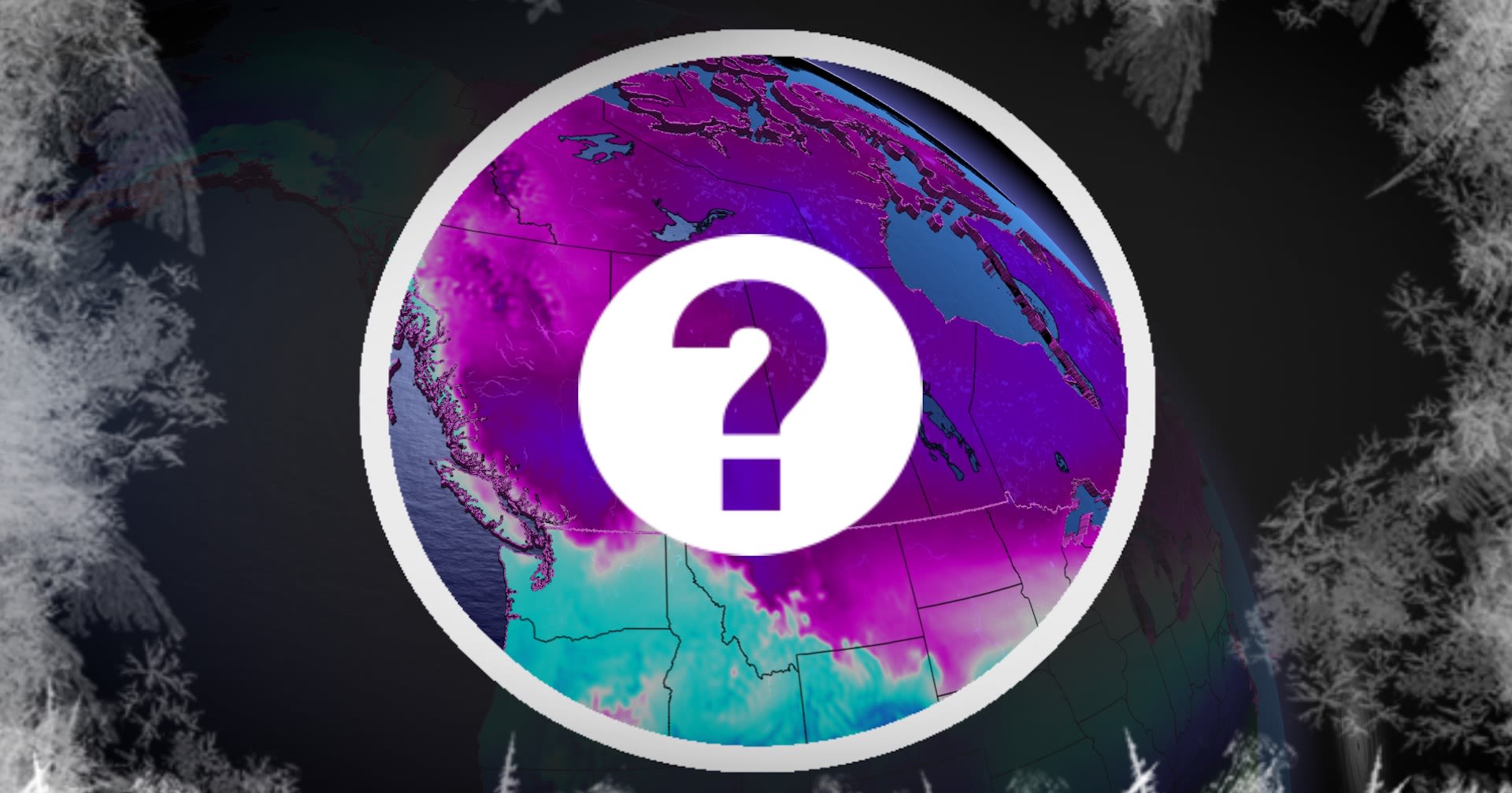
The main culprit behind this frigid spell is the stratospheric polar vortex, which has shifted to this side of the pole. Originating from the high Arctic, this frigid air spiralled southward, gripping Western Canada in its icy hold.
At the surface, a sprawling Arctic high stretches from the Yukon to Saskatchewan, reinforcing the deep freeze. A healthy snowpack across the South Coast of B.C. acts like a natural coolant, allowing temperatures to drop even further, especially under clear night skies.
Typically, the jet stream moderates temperatures, with Pacific onshore flow helping to limit Arctic air intrusion. This week, however, upper-level winds are unusually calm, and the polar jet stream has been pushed as far south as California, leaving Western Canada exposed to extreme cold.